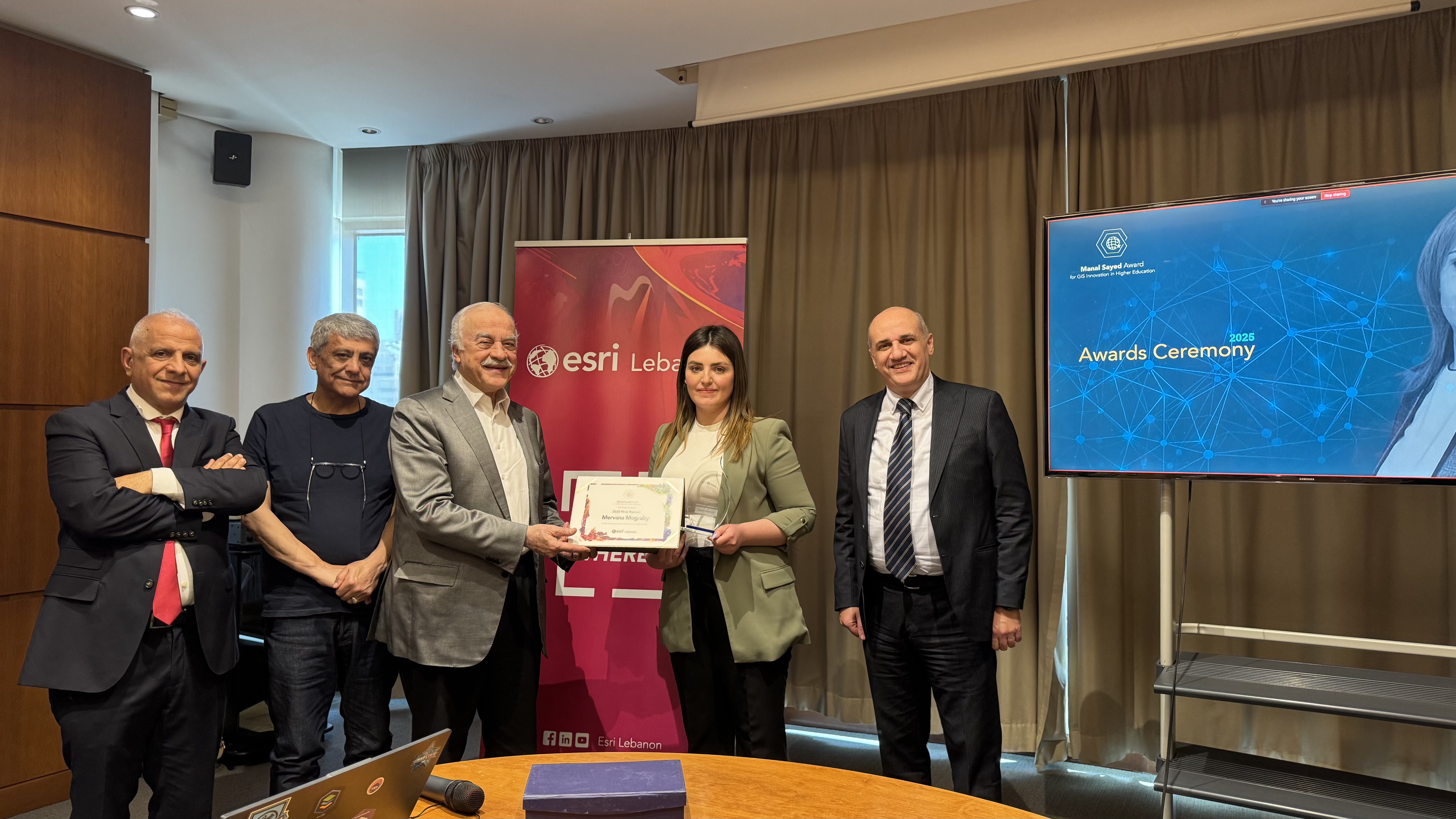
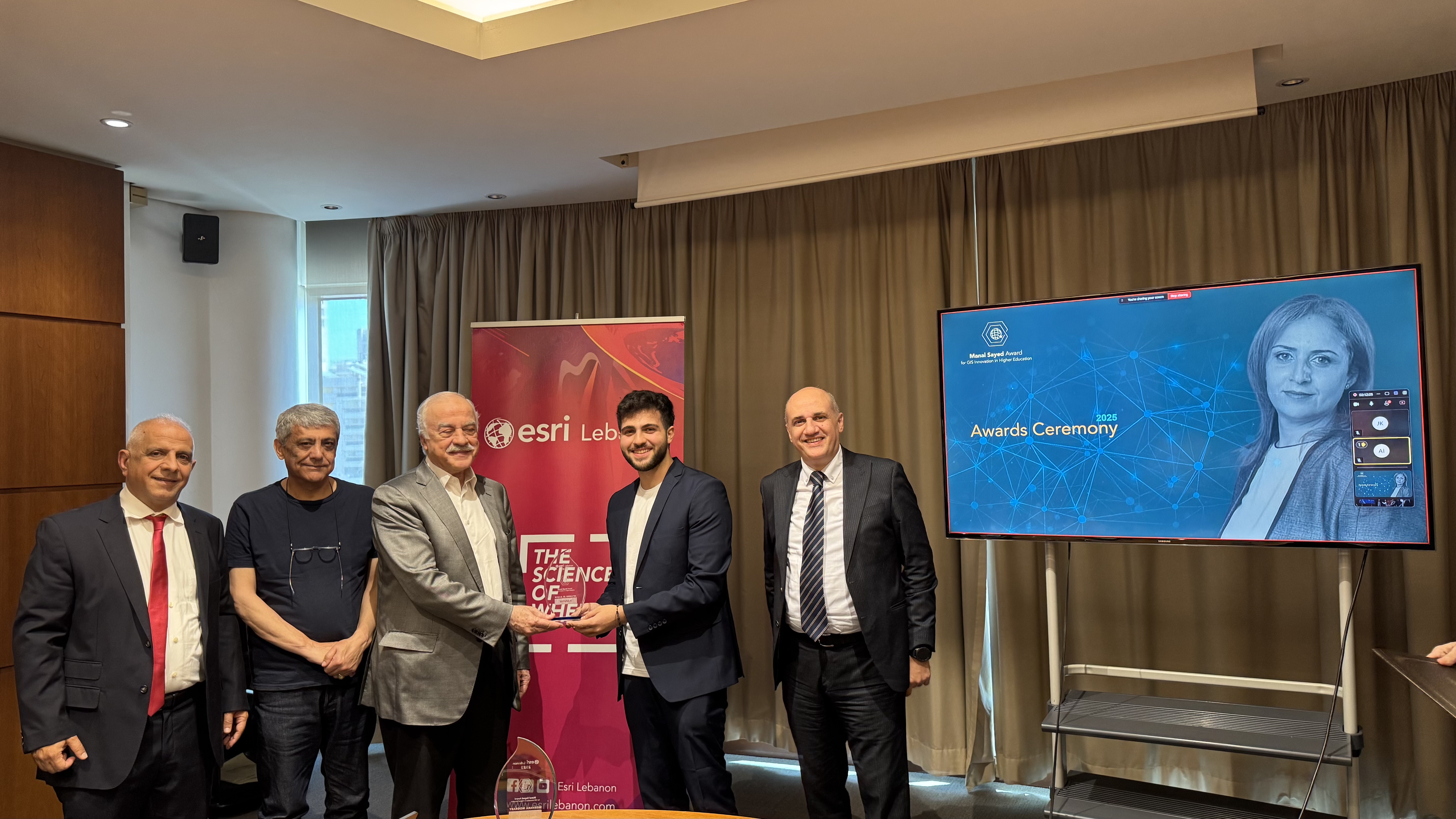
1st Place: Khalil El Gemayel
Flames of War | USEK, Holy spirit university of Kaslik
This project focuses on assessing the burnt agricultural areas and forests in southern Lebanon during the last Israel - Lebanon conflict, using Landsat 8 dNBR (Differenced Normalized Burn Ratio), in addition to a refinement of results using BAI (Burned Area Index), NDVI (Normalized Difference Vegetation Index), and true color Sentinel 2 imagery, using advanced tools like Experience Builder, Story Map, Web Map, Survey123, and Dashboards
View Poster