
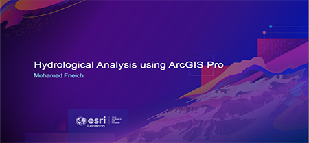
Hydrological Analysis using ArcGIS Pro
Mohamad Fneich - Esri Lebanon
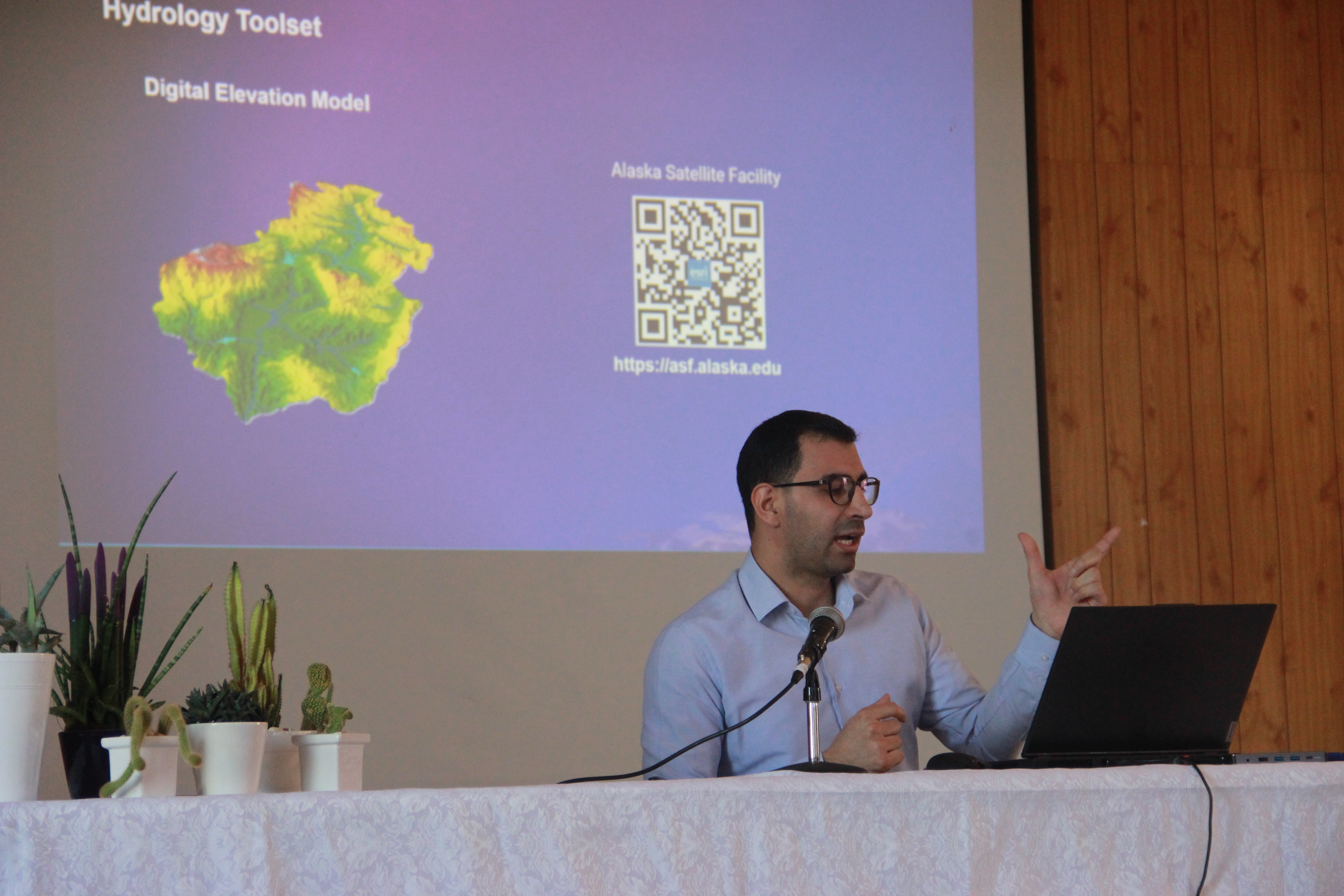
Check out this event calendar
Participants checking in
(LU Anthem / Opening and welcome notes: Prof. Samar Sakr / Head of Geography Department: Dr. Colette Abi Fadel / ESRI Lebanon Senior Manager: Mrs. Gretta Kelzi / Director of the Faculty of Letters and Human Sciences 2: Prof. Hend Rammouz / Dean of the Faculty of Letters and Human Sciences: Prof. Hiba Chendeb)
The use of GIS in transportation (Captain Eng. Hassan Abou Daher : Directorate of Geographical Affairs at Lebanese Army forces & Master Student at the Faculty of Engineering)
GIS in teaching (Mrs. Laure Harb : Geography Teacher)
GIS and climate change (Jennifer Mdawar & Larita Kordab : School Students (NDMC Alumni))
ESRI Lebanon technical demo (Eng. Mohamad Fneich: Lead Solutions and Products at ESRI Lebanon)
GIS - Based Study on the Significance of Historical Research (Prof. Pierre Moukarzel & Prof. Jean Doumit : Professors at Faculty of Letters and Human Sciences 2 - Geospatial lab)
GIS - Based Study of Anomalous Magnetism and Its Association with Ferrous Minerals in Lebanon (Charbel Rouhana: Geography Student at Faculty of Letters and Human Sciences 2 - Geospatial lab)
Determining forest fire risks based on geographic information systems in Keserwan - Al-Futouh (Mouhamed Amro: Itihad balidiyet Keserwane and Master Student in Geography)
GIS-based morphometric analysis for determination of Kadisha river basin hillslope evolution. (Fabienne Youssef: Doctorate Student)
Awards from ESRI + Cutting the cake
Explore papers and abstracts, session videos, and presentation materials shared by peer. Apply these success stories and best practices to your own work.
Event Facebook Live video
Check out the event posts
Some photos from the event